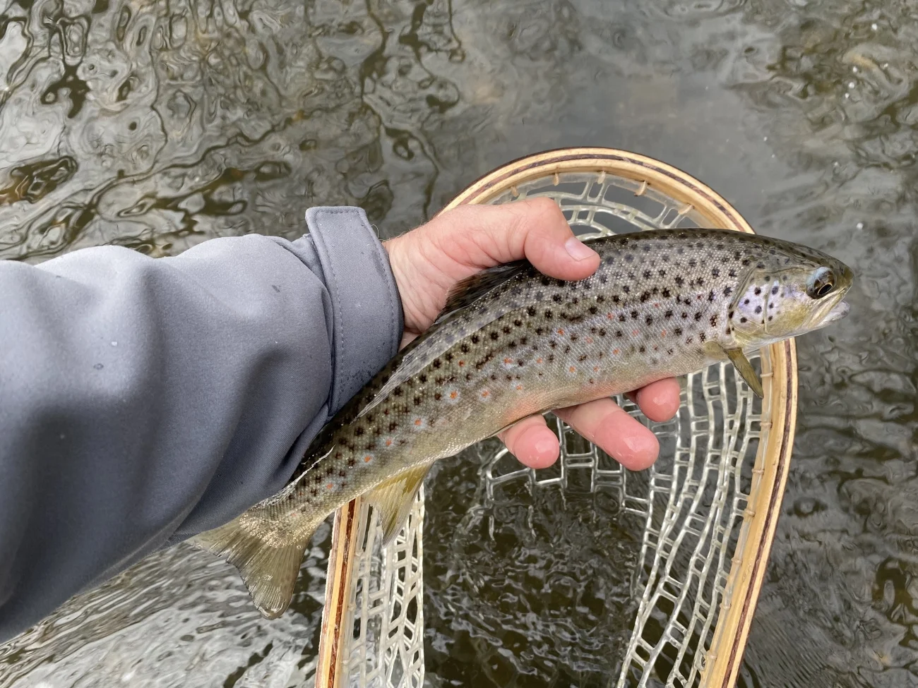
At Keswick Marsh near Norwich, the River Yare now has adjoining ponds, shallow pools and reshaped ditches intended to give water more room beyond the main channel. The Environment Agency reported on 13 October 2026 that the agency, Norfolk Rivers Trust and Water Resources East had worked together on more than seven hectares of bank and floodplain. The October account describes completed earthworks and early wildlife observations. It does not yet supply measured changes in peak flow, low-flow support or the number of fish using the restored area.
What changed beside the Yare
The River Yare is a chalk stream that runs through Norfolk. At Keswick, the work was designed to improve the connection between the river and the surrounding low ground. Pools, ponds and altered ditches give water different paths and places to stand. In winter, some parts of the floodplain can receive water as levels rise. In drier periods, some features are intended to hold water longer. The announcement describes a 20-acre site made available for the project and a reshaped area of more than seven hectares. Those are related but different descriptions. Neither tells readers how much of the site is wet at a particular river level.
The approach creates a series of shallow edges, rather than a single uniform channel or pond. An edge can move as water rises and falls. That variation can provide wet mud, shallow cover or longer-lived water in different places. The benefit for an individual species depends on whether it can reach the habitat and whether the water stays suitable long enough. A deep permanent pond and a shallow pool that dries naturally can support different organisms. Variety is the point of the design, but the first season of construction does not establish exactly which mixture will persist.
Where fish fit in a wetland project
The Environment Agency account focuses chiefly on wider wetland wildlife. Norfolk Rivers Trust staff reported visitors including egrets, coots, newts and dragonflies, among others. Some were described as new records at the site. These observations establish that wildlife was recorded visiting during the works or early period. They do not establish an increase in breeding populations. No fish counts or species-specific fish outcomes are given in the October notice.
Fish may benefit from a floodplain where a connection provides a sheltered area away from strong main-channel flow. A shallow margin can also support insects and other prey. Those are plausible mechanisms, not evidence that fish already enter these particular pools. Timing matters. Water that reaches a pool only briefly during a flood creates a different opportunity from a link that remains passable long enough for fish to enter, feed and return. A pool that remains wet but becomes isolated as the river falls might benefit amphibians while offering fish no sustained route. That difference is a reason to measure connectivity and water quality rather than equating new water surface with fish habitat.
A second question concerns what happens in the main channel. Changes beside it can affect where sediment settles and how floodwater moves past the bank. The direction and size of the effect depend on the connections, ground conditions and flow. Shallow off-channel water can warm in sunlight. The main channel can have different conditions because of its flow and shade. A restoration that improves habitat for some organisms need not provide the same conditions throughout the site. Monitoring both settings would help explain which habitats are available to fish at different times.
Water storage needs its own evidence
Allowing floodwater to spread and slow on a floodplain is a familiar mechanism in natural flood management. How much that affects downstream flood peaks depends on when and where the extra storage becomes available. If the ground is already saturated and the pools are full before another storm arrives, their capacity to take more water is different from what it would be after a dry period. The volume of water retained, the timing of release and the size of the wider catchment all affect what a downstream gauge might show. An individual project can add useful local storage without demonstrating a measurable change at every downstream location.
The October announcement describes longer water retention and lower downstream flood risk as benefits of the design. It does not give a before-and-after series that quantifies those effects. Useful follow-up would record water levels in the river and floodplain together, and observe when each feature fills and drains. Comparing more than one winter would make it easier to tell how the works perform during different sequences of storms. Records from dry spells could show how long pools hold water, even if the downstream influence on low flows proves harder to measure.
The partners offer different reasons for doing the work. Norfolk Rivers Trust brings a catchment and habitat perspective. Water Resources East describes the project as part of a wider effort to use natural processes to improve water security. The Environment Agency connects it to investment in water environment improvement. Those roles help explain why the project has several objectives. The result can be assessed against each objective separately, using evidence that fits it. Early observations of a bird are valuable in their own right and should not be used as a proxy for water storage or fish passage.
What to look for after the first winter
One next milestone is a clear record of where water goes during the first higher flows after the earthworks. Repeated photos from the same points can show changing water edges, but water-level records would give the timing and duration that photographs alone miss. An ecological follow-up could ask which plants establish on the new margins, whether invertebrates use them and whether there are routes that fish can enter and leave. If any fish surveys are undertaken, observations before and after connection and at similar times of year would make them easier to interpret.
Measuring the connection between river and marsh
One follow-up measure would be the river level at which water first enters each shallow channel, together with the length of time it stays connected. Two areas can cover the same ground at peak flow and behave very differently as the river falls. Recording both the entry and the exit of water would show where it moves back to the river and where it remains in lower ground. A sequence of site visits after several flows would make it easier to distinguish the behaviour of the new channels from one particularly wet day.
Fish observations would benefit from that timing. A sample made while a side channel is connected tests whether fish enter it. One made as water recedes can help show whether the route back remains open and whether isolated pools persist. Temperature and dissolved oxygen observations at the same time would help distinguish places offering temporary refuge from places where long residence can make conditions difficult. These are ways to test the fish habitat implications of the design, which remain open at Keswick.
Those measurements would also make the project easier to compare with other work in the Yare catchment. Water Resources East's programme brings together water supply, land and wetland planning. The most transferable evidence from a single marsh would be the conditions under which its connections work and what it takes to maintain them, even where a neighbouring site has a different shape or water supply.
For anglers and others following the Yare, the project is a reason to pay attention to how the bank and floodplain function as water levels change. It does not create fishing access to Keswick Marsh or its new features. Readers should respect land access arrangements and watch for public reports from the partners rather than trying to inspect sensitive or flooded areas themselves.
The practical outcome reported in October is a reshaped floodplain with new wetland features and early signs of use by several kinds of wildlife. The next useful evidence is how those features operate through high and low water. That will show which connections persist, how long water remains on the site and whether the change also benefits fish habitat.